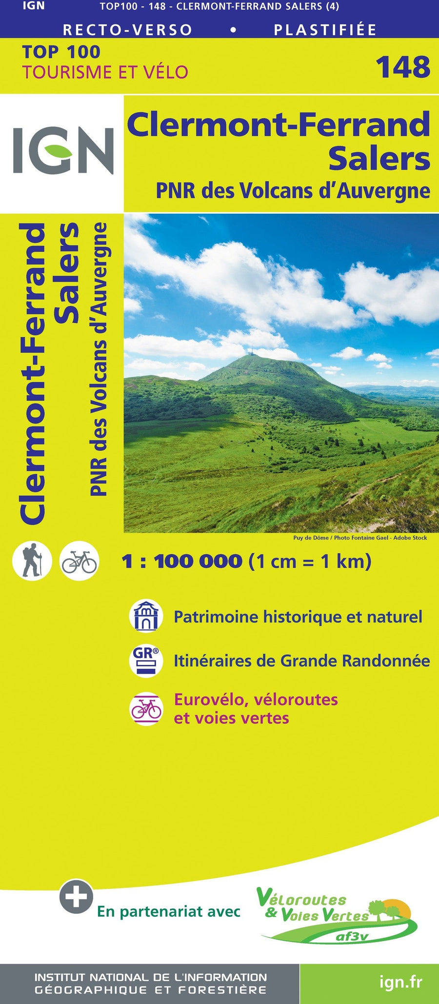
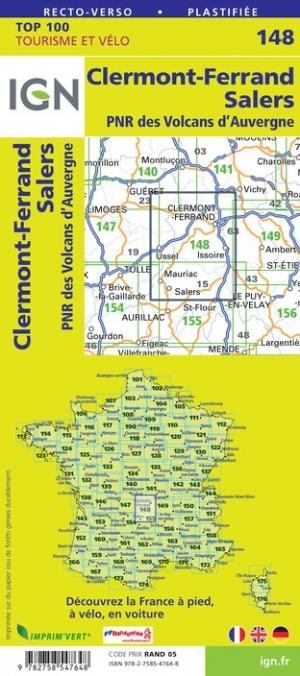
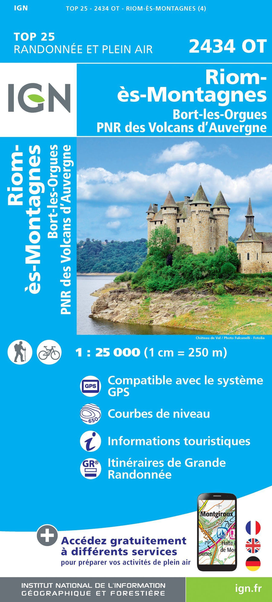
Hiking map - The great crossing of the Auvergne volcanoes | FFHiking
Hiking map - The great crossing of the Auvergne volcanoes | FFHiking
Regular price
$20.00
- Shipping within 24 working hours from our warehouse in France
- Delivery costs calculated instantly in the basket
- Free returns (*)
- Real-time inventory
- In stock, ready to ship
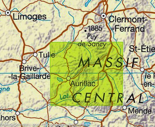
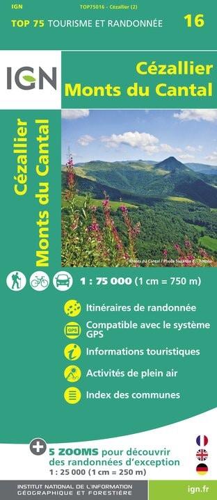
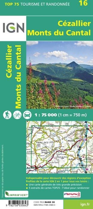
Related geographic locations and collections: Auvergne Volcanoes Regional Nature Park, Cantal (department 15), Puy-de-Dôme (department 63)