ISBN/EAN : 9788480905190
Publication date: 2017
Scale: 1/25,000 (1cm=250m)
Printed sides: front
Folded dimensions: 21 x 12.5 x 1cm
Unfolded dimensions: 52 x 30cm
Language(s): German English
Poids :
191 g
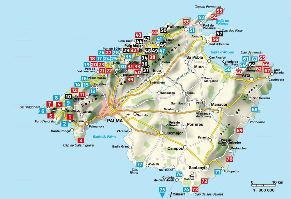
Hiking Map of two areas of northern Island of Majorca (Formentor and Cap de Ferrutx).
The detailed maps are in color with the level curves and the hiking guide (in English and German) includes the different hikes possible (on foot, by bike) with the elevation, the estimated times and explanations.
Scale 1/25 000 (1 cm = 250 m).
More from Balearic Islands


