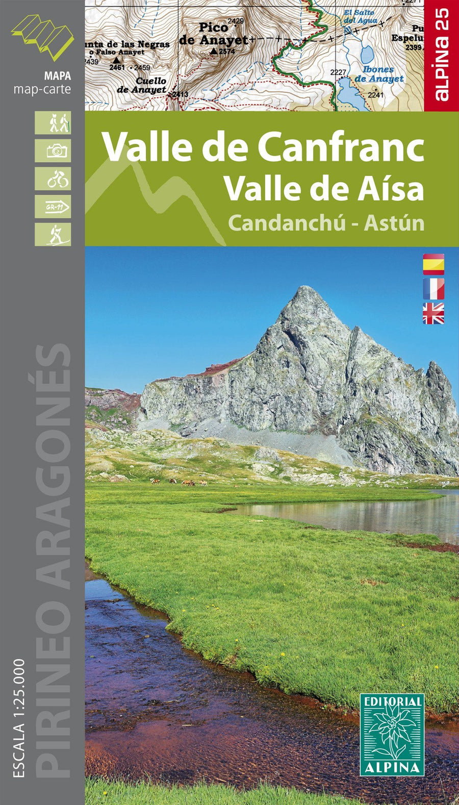
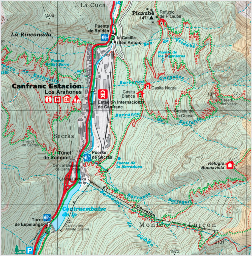
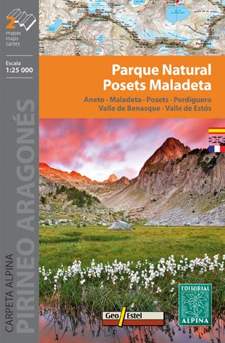
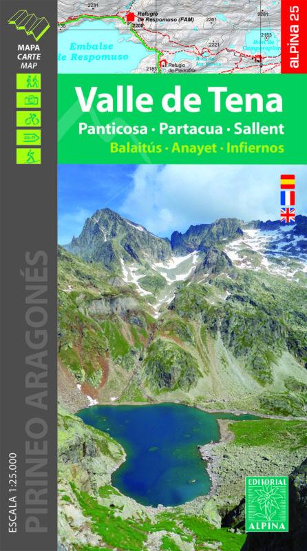
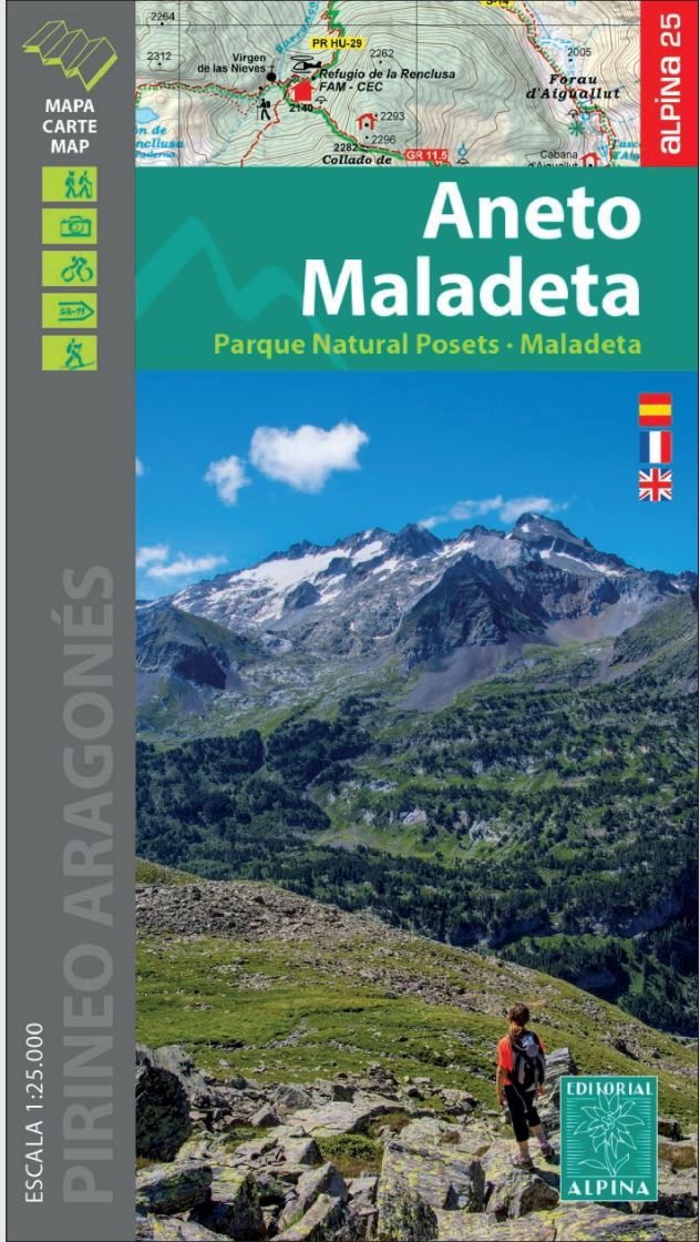
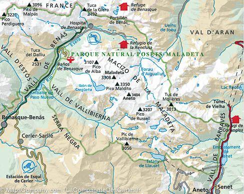
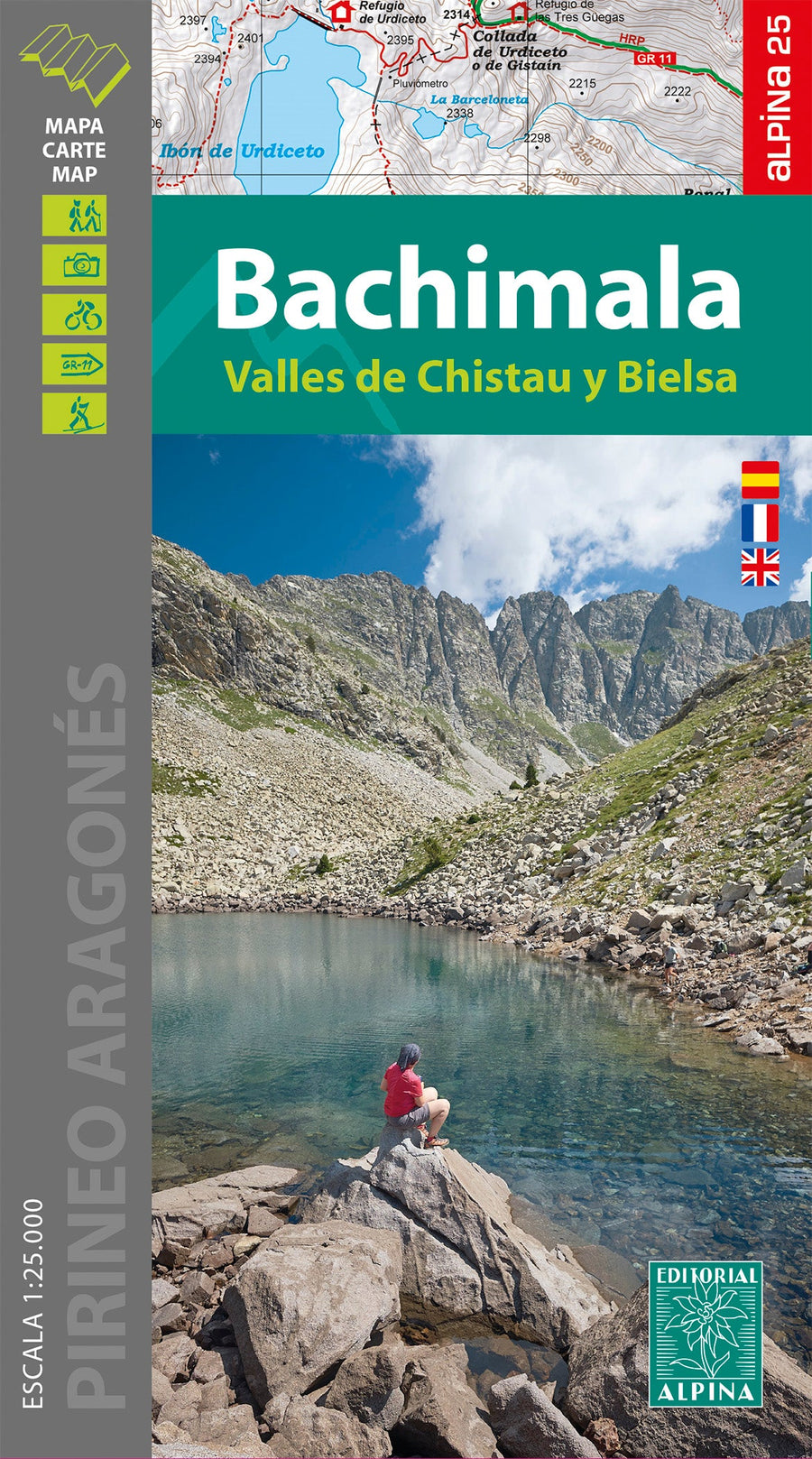
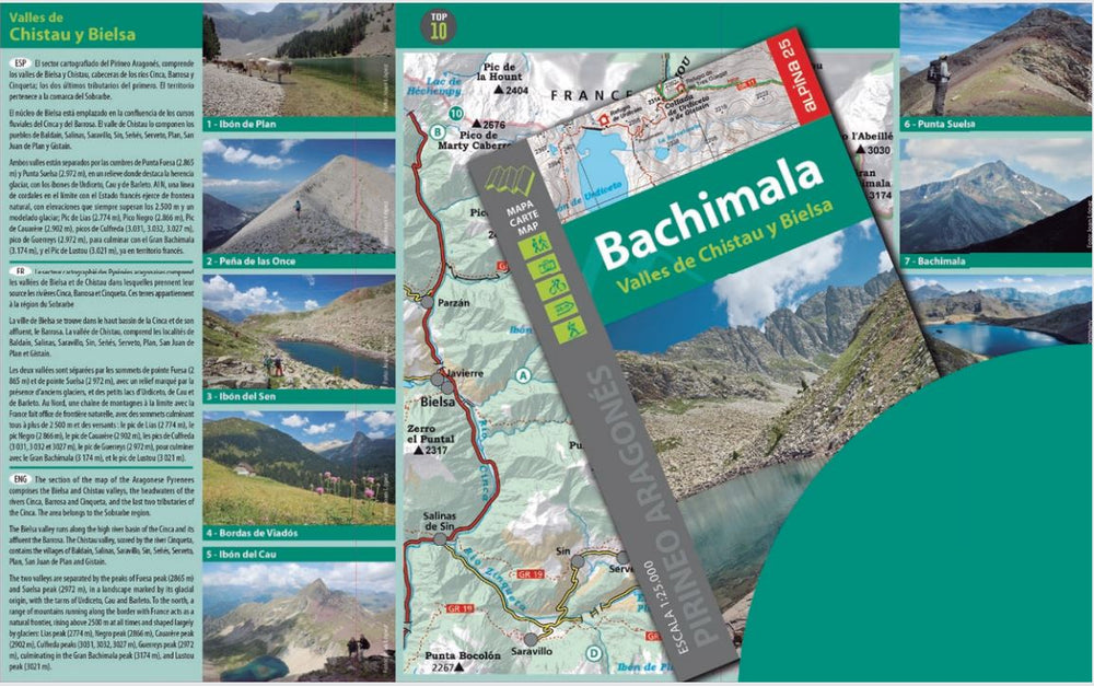
Carte de randonnée - Vallée de Canfranc & Vallée de Aísa (Pyrénées aragonaises) | Alpina carte pliée Editorial Alpina

Hiking Map - Canfranc Valley & Valley of Aísa (Aragonese Pyrenees) | Alpina

Hiking Map - Canfranc Valley & Valley of Aísa (Aragonese Pyrenees) | Alpina

Regular price $22.00
/
  • Shipping within 24 working hours from our warehouse in France
  • Delivery costs calculated instantly in the basket
  • Free returns (*)
  • Real-time inventory
  • In stock, ready to ship
  • Backordered, shipping soon
Tax included.

Hiking Map of the Canfranc Valleys and Aísa of the Spanish publisher Alpina.

Map sector: Aragonese Pyrenees. Aragon Valley. Regions of Jacetania and Alto Gállego.

Features: Topographic Map at 1:25 000, with information of interest: marked trails (GR, PR), trails, shelters, waterfalls, etc. Equidistance contours spaced 10 m
• Contours Masters spaced 50 m
• Relief Shaded
• Compatible with GPS
• Marked itineraries

The map comes with a folder that provides the following information: • Refuges kept
• Hiking
• Geographical information
• Top14: Points of interest


ISBN/EAN : 9788480908856
Publication date: 2022
Scale: 1/25,000 (1cm=250m)
Printed sides: front
Folded dimensions: 21 x 12.5cm
Unfolded dimensions: 98 x 68cm
Language(s): French, Castilian, English
Poids : 80 g

Customer Reviews

No reviews yet
0%
(0)
0%
(0)
0%
(0)
0%
(0)
0%
(0)