Carte de voyage - Salvador & Guatemala Sud | ITM carte pliée ITM

Travel Map - Salvador & Guatemala South | ITM

Travel Map - Salvador & Guatemala South | ITM

Regular price $20.00
/
  • Shipping within 24 working hours from our warehouse in France
  • Delivery costs calculated instantly in the basket
  • Free returns (*)
  • Real-time inventory
  • In stock, ready to ship
  • Backordered, shipping soon
Tax included.

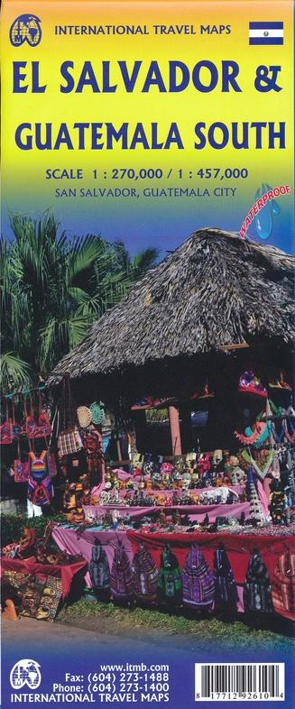
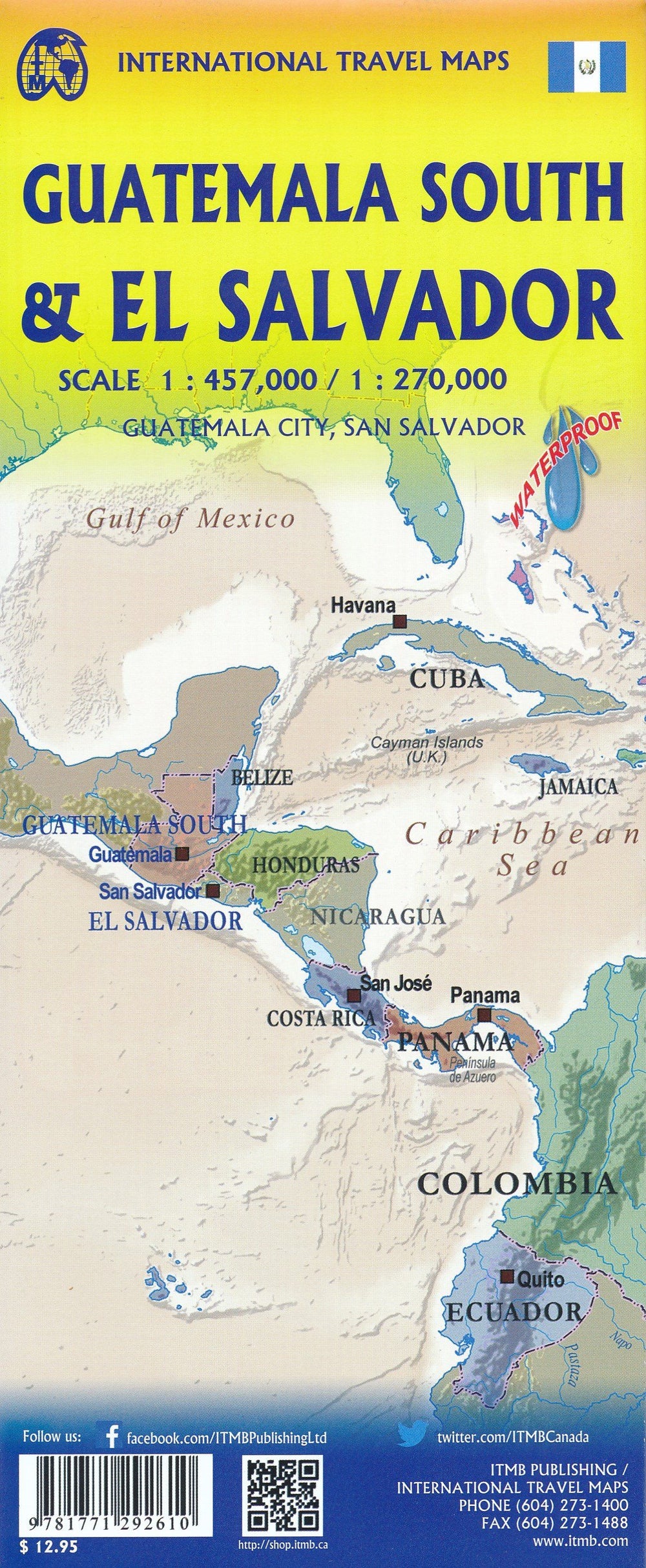
Road Map waterproof of Salvador and southern Guatemala edited by ITM. El Salvador (1: 270.000) is presented on one side, accompanied by a detailed map of San Salvador. The map also show the city of Chalchuapa, a UNESCO World Heritage Site, which dates from 3,200 years. The other side of the map shows the southern part of the neighboring Guatemala, with an inset from the Capitale Guatemala City. The highlights of this map are Quetzaltenango, Antigua Guatemala and the Mayan ruins of Quirigua.

The border crossings with El Salvador are clearly indicated and easy to cross. Relief mapping, distances indicated on large axes, as well as gas stations. Maritime links and cities index included.


ISBN/EAN : 9781771292610
Publication date: 2019
Scale: 1/457,000 (1cm=4.5km) & 1/270,000 (1cm=2.7km)
Printed sides: both sides
Folded dimensions: 24.6 x 10.3 x 0.5cm
Unfolded dimensions: 100 x 69cm
Language(s): English
Poids : 86 g

Customer Reviews

Based on 1 review
100%
(1)
0%
(0)
0%
(0)
0%
(0)
0%
(0)
A
Antoine L. (Paris, FR)
Top

La carte est suffisamment bien détaillée est semble robuste pour mon voyage!