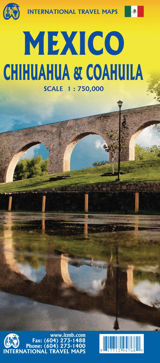
Travel Map - Mexico: Chihuahua & Coahuila | ITM

Price
Regular price $20.00
Regular price Sale price $20.00
Save $-20
/
  • Shipping within 24 working hours from our warehouse in France
  • Delivery costs calculated instantly in the basket
  • Free returns (*)
  • Real-time inventory
  • In stock, ready to ship
  • Backordered, shipping soon
Tax included.

Often purchased together:

Road map of the states of Chihuahua and Coahuila (Mexico) published by ITM. This detailed map covers these two regions of northern Mexico bordering the United States.

Relief mapping and indication of points of interest. Index of cities included.

Northern Mexico is a vast desert plateau deeply rooted in Spanish colonial heritage. The very first settlement inside what is now the United States was the town of Presidio (long before the English thought of settling in Jamestown) and is still one of the few crossings of the Rio Great in Texas (itself a former Mexican province). There are two major cities in the region, Chihuahua, 300 km south of El Paso, and Monterrey, the largest city in northern Mexico. There are major tourist attractions in Monclova, Saltillo, Parras, Torreon and Cuauhtemoc, the end of the famous Copper Canyon railway line. The map expands a bit into Sinaloa, to include Los Mochis on the Pacific coast. The entire railway line is also represented. It is an important part of North American history. Perhaps less well known to Europeans who prefer the beaches of Yucatan, it is nevertheless a fascinating part of Mexico bordering the United States. Ciudad Juarez, for example, is larger than its Rio Grande partner, El Paso.
An inset map of the old colonial town of Saltillo is included, along with a list of major attractions.


ISBN/EAN : 9781771294768
Publication date: 2022
Scale: 1/750,000 (1cm=7.5km)
Printed sides: both sides
Folded dimensions: 24.6 x 10.3 x 0.5cm
Unfolded dimensions: 68x100cm
Language(s): English
Poids : 51 g

Customer Reviews

No reviews yet
0%
(0)
0%
(0)
0%
(0)
0%
(0)
0%
(0)