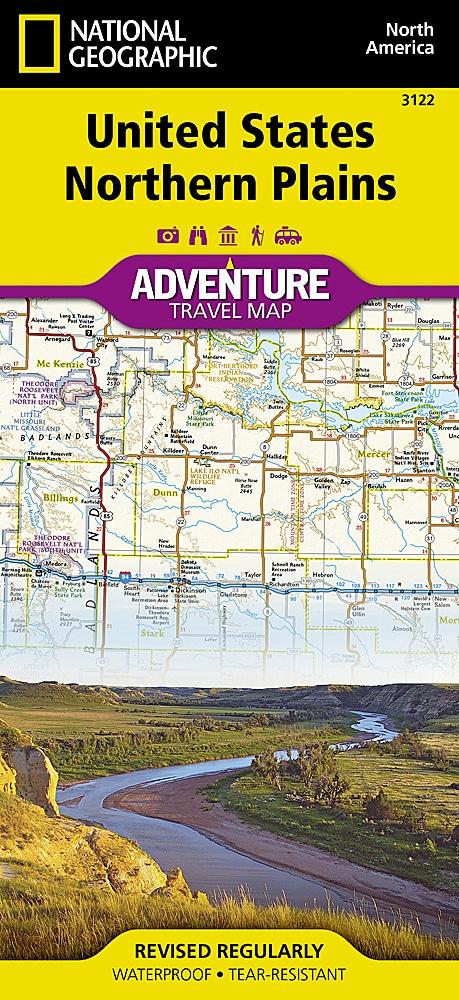
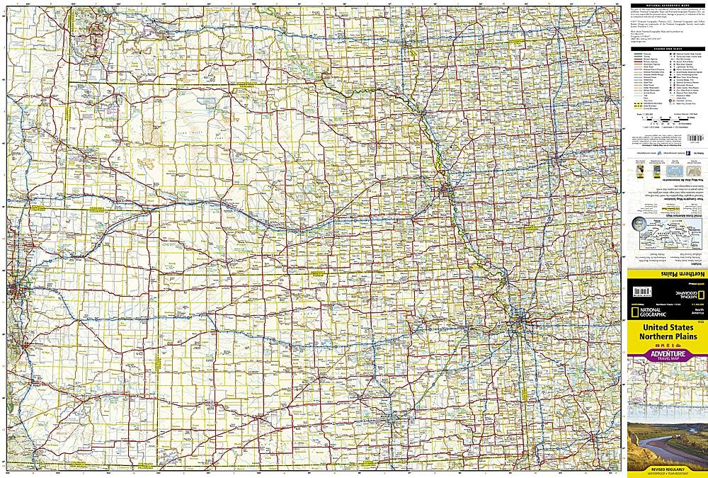
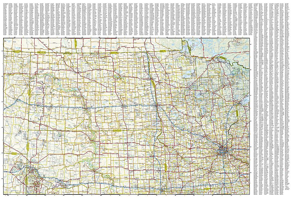
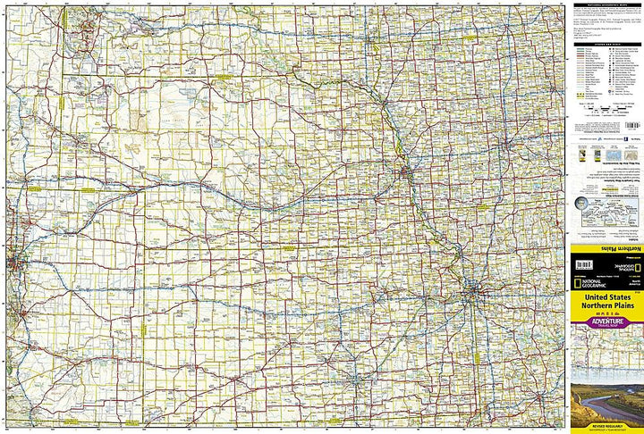
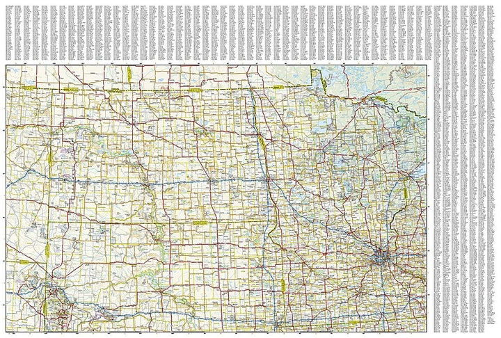
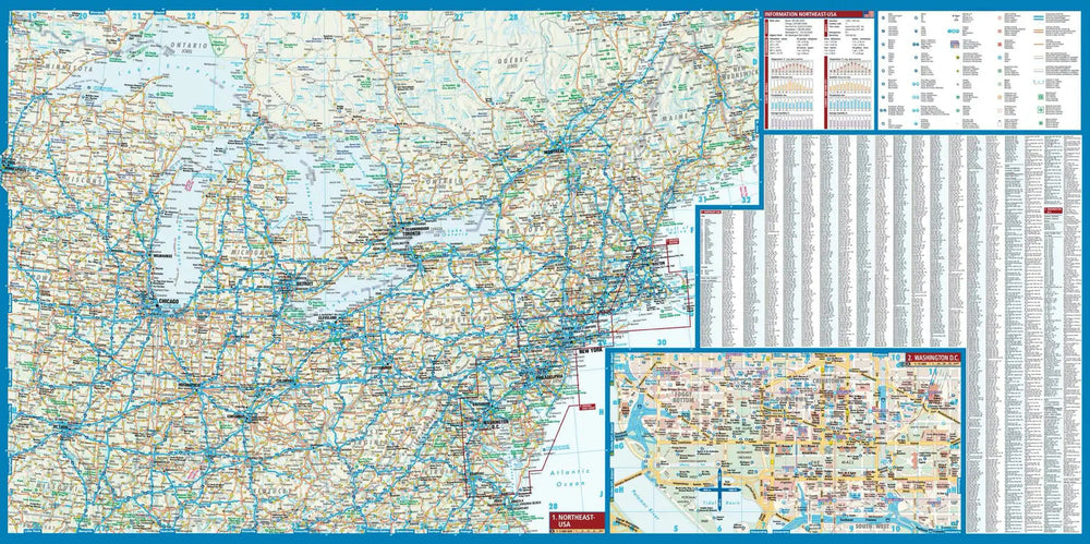
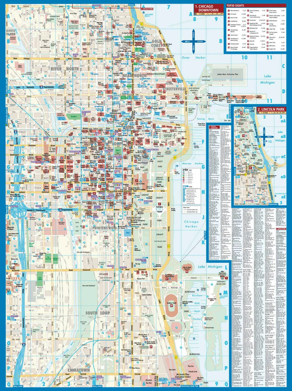
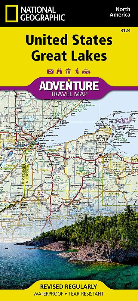
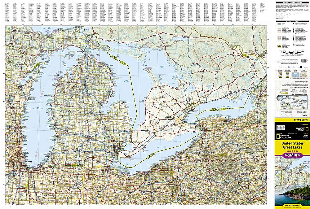
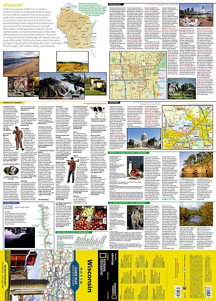
Carte touristique des plaines du Nord (USA) éditée par National Geographic. Cette carte des États-Unis "Northern Plains" vous guidera à travers un paysage varié, des plaines sèches et abondantes de l'ouest du Dakota, du Nebraska et du Kansas, à travers les lacs du nord du Minnesota jusqu'au bord du fleuve Mississippi, dans l'Iowa. L'état du Dakota du Sud contient les Black Hills dramatiques avec le Mt. Rushmore, le Dakota du Nord possède les parcs nationaux de Badlands et Theodore Roosevelt. Le Nebraska, le Kansas et l'Iowa sont connus pour leurs terres agricoles et leurs vastes panoramas. Le Minnesota offre des forêts et des lacs sans fin, y compris ceux du parc national Voyageurs.
La carte inclut les villes de Bismarck, Fargo, Omaha, Des Moines, Wichita, Minneapolis et St. Paul.
Indication des routes, des aires protégées (parc nationaux, réserves…), des attractions touristiques et un index des villes.
Carte détaillée imperméable et résistante au déchirement.
Echelle 1 / 1 300 000 (1 cm = 13 km).
ISBN/EAN : 9781566957168
Date de publication : 2022
Echelle : 1 / 1 300 000 (1 cm = 13 km)
Impression : recto-verso
Dimensions plié(e) : 23,5 x 10,7 x 0,8 cm
Dimensions déplié(e) : 95 x 65 cm
Langue(s) : anglais
Poids :
89 g


