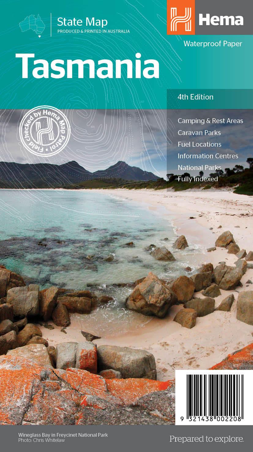
Carte routière n° 719 - Tasmanie | UBD Gregory's carte pliée UBD Gregory's

Detailed map - Tasmania # 719 | UBD Gregory's

Detailed map - Tasmania # 719 | UBD Gregory's

Regular price $20.00
/
  • Shipping within 24 working hours from our warehouse in France
  • Delivery costs calculated instantly in the basket
  • Free returns (*)
  • Real-time inventory
  • In stock, ready to ship
  • Backordered, shipping soon
Tax included.

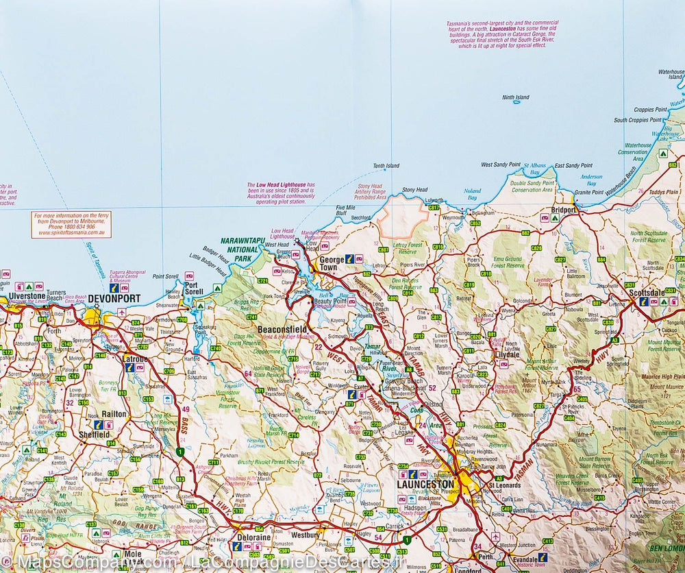
Waterproof map of Tasmania.

Rue de Hobart and Launceston on a 1/10,000 scale, Devonport, Penguin, Burnie, Bicheno, Deloraine, Stanley, St Helens, Strahan, Ulverstone, Oatlands and Queenstown at 1/25,000 scale.

Burny Island Cover 1: 240 000.

There is also information about the best ways to discover Tasmania.
Plans on a scale 1: 25 000 covering Caloundra and the surrounding suburbs, Marochydore Moloolaba and the surrounding suburbs, Nambour, Noosa Heads, Beaches Sunshine Beach, Peregian in Mudjimba, Rainbow Beach and Tin Can Bay.


ISBN/EAN : 9780731932665
Publication date: 2023
Scale: 1/625,000 (1cm=6.25km)
Printed sides: both sides
Folded dimensions: 25 x 11.5cm
Unfolded dimensions: 69 x 100cm
Language(s): English
Poids : 80 g

Customer Reviews

Based on 1 review
100%
(1)
0%
(0)
0%
(0)
0%
(0)
0%
(0)
F
Fabienne N. (Saint-Nicolas-de-Port, FR)

.