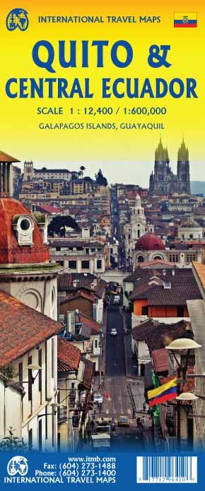
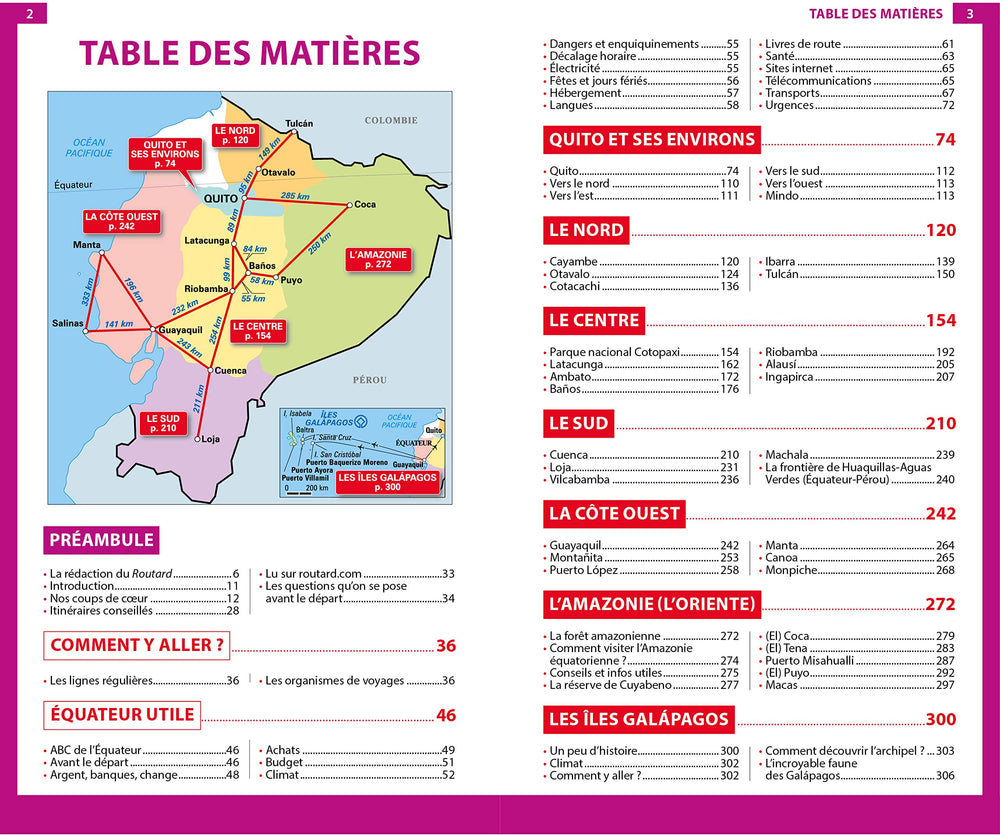
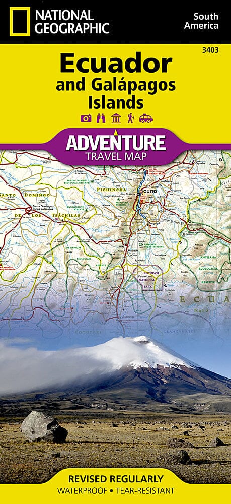
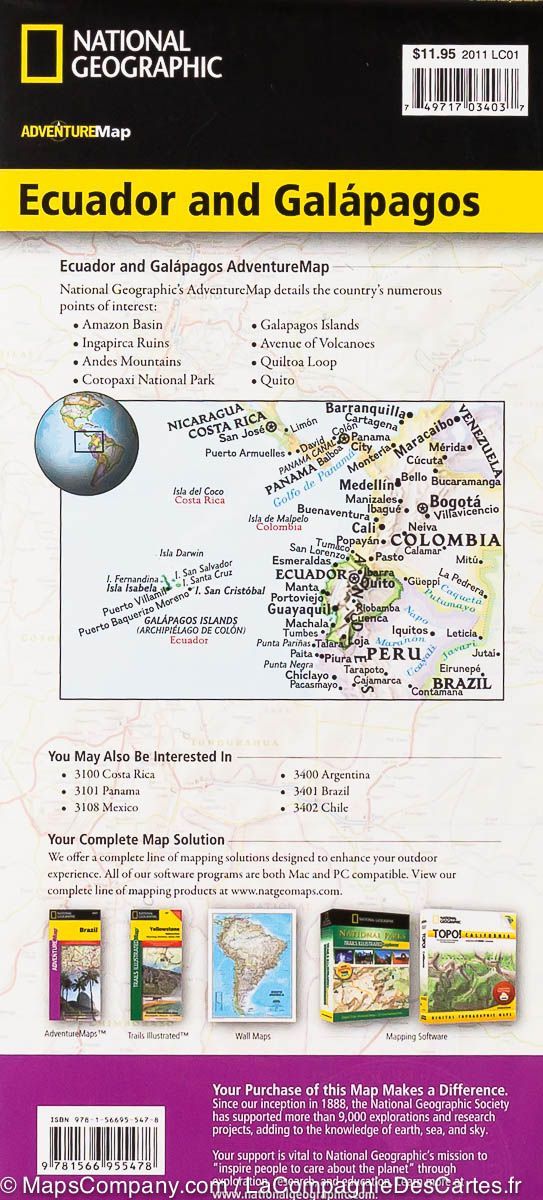
Detailed plan of Quito, the capital of Ecuador, published by ITM. On the back of this detailed plan, a map of the central part of the equator stretching from Ibarra north to Loja south and Guayaquil to the west to the edge of the vast amazonian jungle. This side also includes inserts from the center of Guayaquil and Santa Cruz Island. The road network is shown with excellent details. The country has only one North-South main highway, Pan-Americano, and most of the population lives along the Andes Cordillera.
The legend includes: highway, main road, interurban railway, park, attractions, hospital, accommodation, church, point of interest, embassy, restaurant, etc.
Most visitors associate a trip to Quito to a flight to the fascinating Galapagos Islands ( See separate map ), also accessible from Guayaquil.
Scale 1: 12,400/1: 600,000.
ISBN/EAN : 9781771296410
Publication date: 2019
Scale: 1/12,400 (1cm=124m) & 1/600,000 (1cm=6km)
Printed sides: both sides
Folded dimensions: 24.6 x 10.3 x 0.5cm
Unfolded dimensions: 100 x 68cm
Language(s): English
Poids :
52 g


