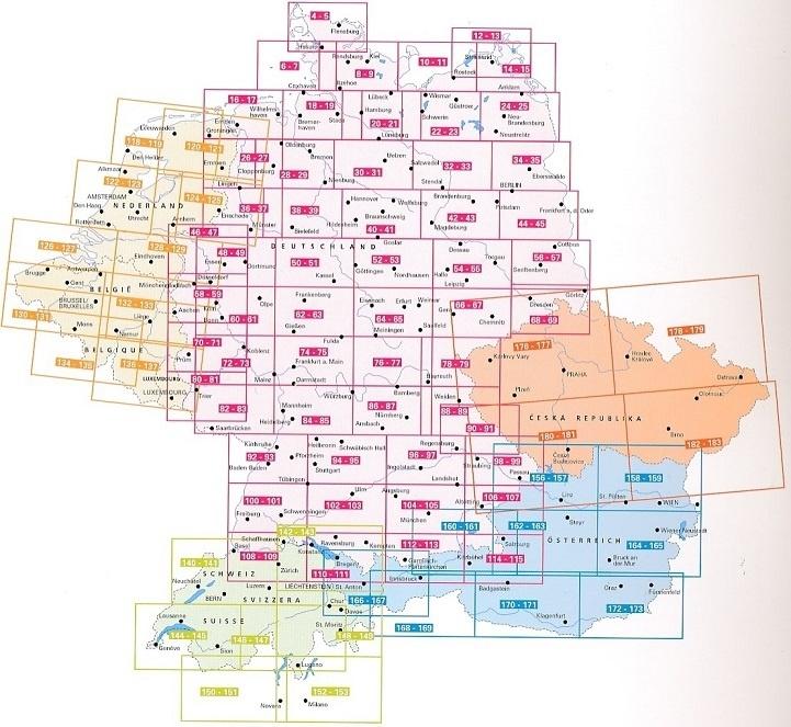
Carte générale des sentiers de longue randonnée - Allemagne | Freytag & Berndt carte pliée Freytag & Berndt

General map of long hiking trails - Germany | Freytag & Berndt

General map of long hiking trails - Germany | Freytag & Berndt

Regular price $20.00
/
  • Shipping within 24 working hours from our warehouse in France
  • Delivery costs calculated instantly in the basket
  • Free returns (*)
  • Real-time inventory
  • Low stock - 2 items left
  • Backordered, shipping soon
Tax included.

The map of long-distance hiking trails in Germany is ideal for the specific planisphere of your next long distance hiking. Whether in short stages or in one piece, alone, couple or group, German nature can be wonderfully traveled along long distance hiking trails.
In addition to 30 Trails of st. Jacques , to know are of course marked This is for example: Goldsteig, 66-Seen-Wanderweg, Heidschnuckenweg, Altmühltal Panoramaweg, Eifelsteig, Kammweg, Moselsteig, Rennsteig, Hermannsweg, Hiking Trail Coastal of the Baltic Sea, etc.

Long-range hiking trail content in Germany

  • German long distance hiking trails
  • great European hiking trails
  • Chemin de Saint Jacques
  • GPX tracks to download
  • scale 1: 800 000
  • waterproof and indich
  • 61 x 90 cm, double-sided printed


ISBN/EAN : 9783707919639
Publication date: 2021
Scale: 1/800,000 (1cm=8km)
Folded dimensions: 25.5 x 13cm
Language(s): German English
Poids : 90 g

Customer Reviews

No reviews yet
0%
(0)
0%
(0)
0%
(0)
0%
(0)
0%
(0)