ISBN/EAN : 9782344013403
Publication date: 2016
Scale: 1/400,000 (1cm=4km)
Printed sides: front
Folded dimensions: 22.5 x 11 x 0.5cm
Language(s): French English
Poids :
104 g
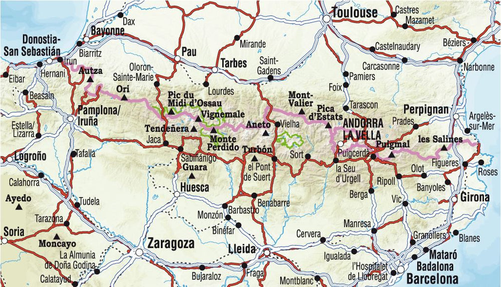
General map of the Pyrenees (France and Spain), edited by Rando editions. This laminated map is ideal for discovering the Pyrenees, both the French and Spanish side. Indication of tourist places, the updated road network, relief shaded, localities index. Scale 1/400 000 (1 cm = 4 km).
More from Pyrenees General


