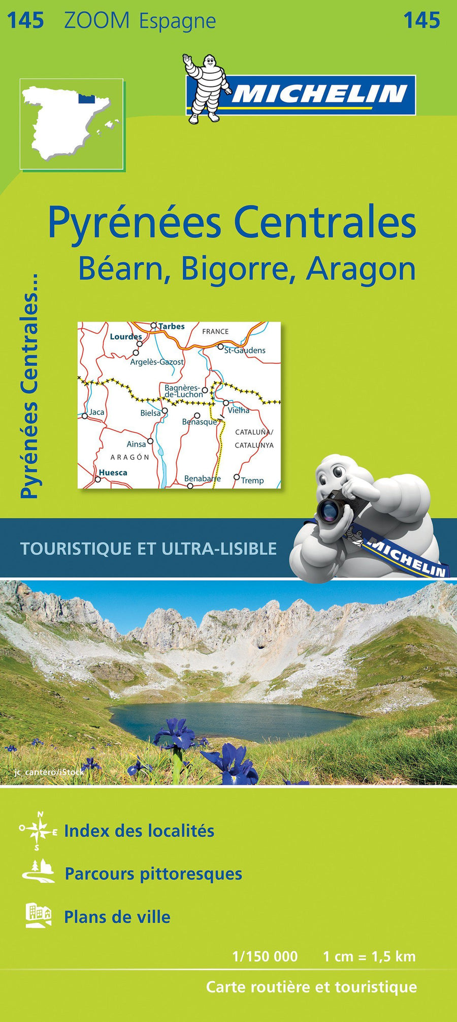
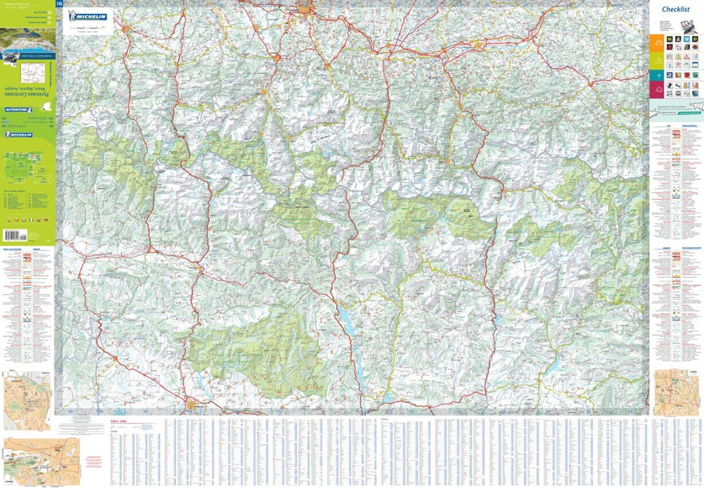
Map & Hiking Guide - Molières TUC, Besiberri, Barravès Vall (Catalan Pyrenees) | Alpina
Map & Hiking Guide - Molières TUC, Besiberri, Barravès Vall (Catalan Pyrenees) | Alpina
Regular price
$23.00
- Shipping within 24 working hours from our warehouse in France
- Delivery costs calculated instantly in the basket
- Free returns (*)
- Real-time inventory
- Low stock - 2 items left
Related geographic locations and collections: Aragon, Catalan Pyrenees, Catalonia, Editorial Alpina, Pyrenees, Spanish Pyrenees, Spanish Pyrenees - Alpina