ISBN/EAN : 9781771290784
Publication date: 2015
Scale: 1/350,000 (1cm=3.5km)
Printed sides: both sides
Folded dimensions: 24.6 x 10.3 x 0.5cm
Unfolded dimensions: 100 x 68cm
Language(s): English
Poids :
52 g
Road Map of the Netherlands, Belgium and Luxembourg published by ITM.
On the front, map of the Netherlands and Belgium and on the back, map of the rest of Belgium and Luxembourg. Mapping of relief, cities index, indication of points of interest (national parks, points of interest etc ...).
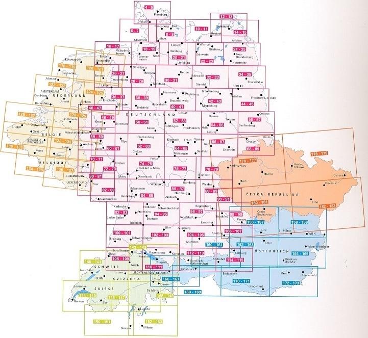
This detailed map also covers border areas with France and Germany.
Scale 1/350 000 (1 cm = 3.5 km).
More from Belgium


