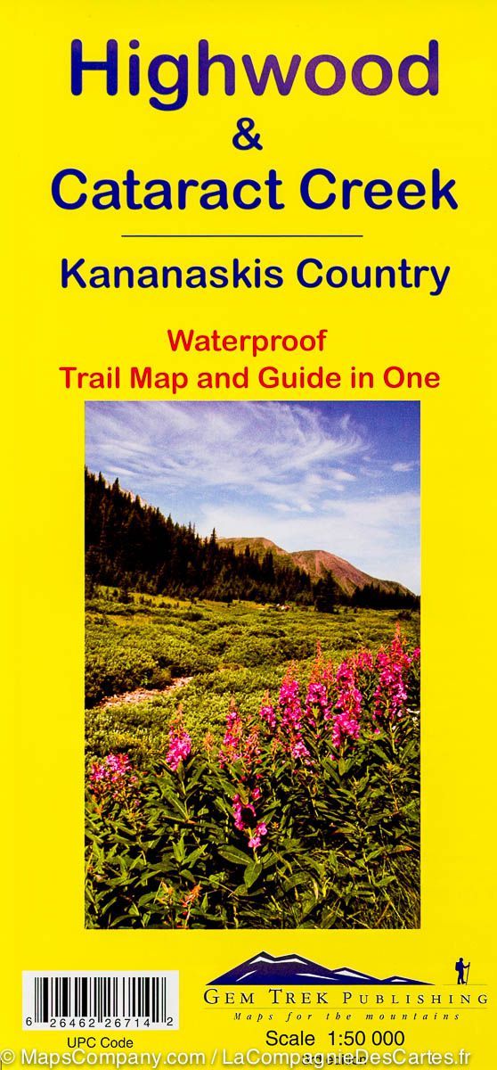
Hiking Map - Highwood & Cataract Creek, South Kananaskis Country (Alberta, Bitannic Columbia) | Gem Trek
Hiking Map - Highwood & Cataract Creek, South Kananaskis Country (Alberta, Bitannic Columbia) | Gem Trek
Regular price
$23.00
Sale price
$16.00
Save $7
- Shipping within 24 working hours from our warehouse in France
- Delivery costs calculated instantly in the basket
- Free returns (*)
- Real-time inventory
- In stock, ready to ship
Related geographic locations and collections: Alberta, Canadian rockies, Kananaskis, Western Canada