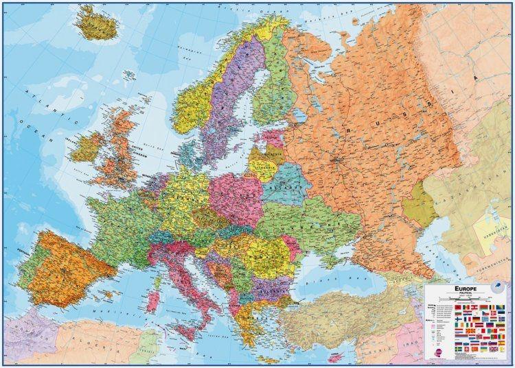
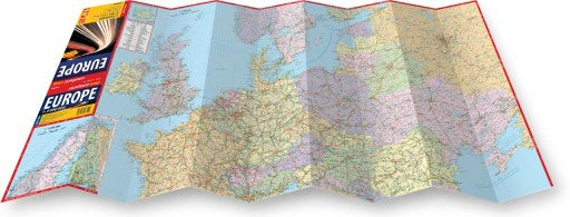
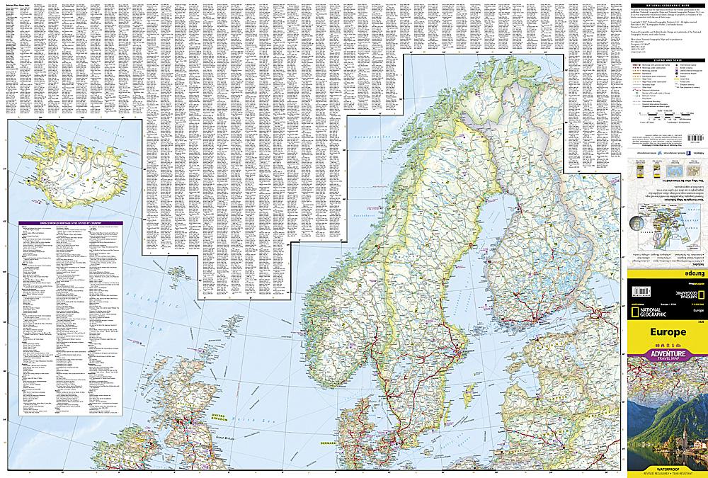
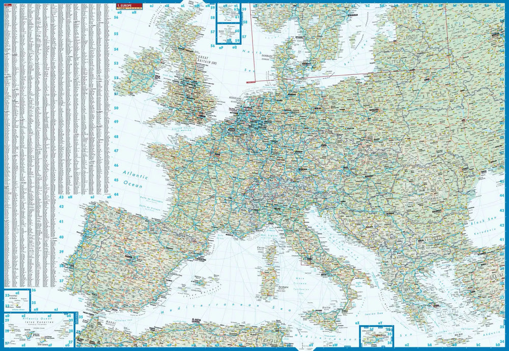
Wall Map - Europe Politics - 135 x 98 cm | Maps International
Wall Map - Europe Politics - 135 x 98 cm | Maps International
Regular price
$52.00
- Shipping within 24 working hours from our warehouse in France (except laminated models)
- Delivery costs calculated instantly in the basket
- Real-time inventory
- In stock, ready to ship
Related geographic locations and collections: Europe, Europe Wall Maps, General wall maps of Europe, Wall Maps