ISBN/EAN : 9789158895867
Publication date: 2016
Scale: 1/100,000 (1cm=1km)
Printed sides: both sides
Folded dimensions: 22.3 x 14 x 0.4cm
Unfolded dimensions: 78x78cm
Language(s): English, German, Swedish
Poids :
61 g
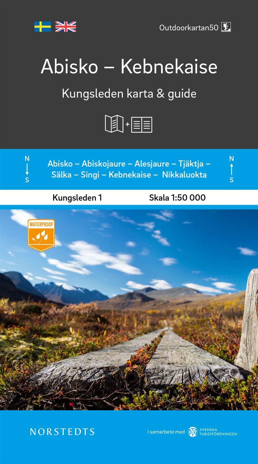
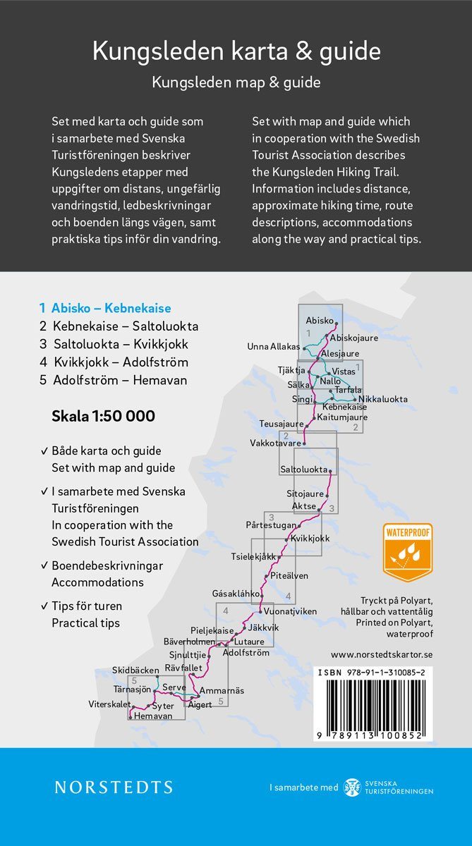
Topographic Map edited by LantMäteritet that covers the area of Mount Kebnekaise (highlight of Sweden) and Saltoluokta in the Arctic Circle (Lapland, Northwestern Sweden). Curves of space spaced 20 meters, indication of protected areas, hiking trails and other outdoor activities as well as campsites. Very detailed legend. Scale 1 / 100,000 (1 cm = 1 km).
More from Hiking in Scandinavia


