Carte physique (pliée) - République Démocratique du Congo | UCL carte pliée UCL

Physical Map (folded) - Democratic Republic of Congo | UCL (French)

Physical Map (folded) - Democratic Republic of Congo | UCL (French)

Regular price $31.00
/
  • Shipping within 24 working hours from our warehouse in France
  • Delivery costs calculated instantly in the basket
  • Free returns (*)
  • Real-time inventory
  • In stock, ready to ship
  • Backordered, shipping soon
Tax included.

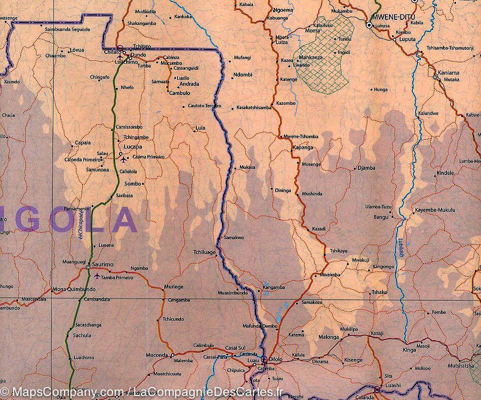
On the basis of multiple collaborations and recent scientific acquis in the field of spatial remote sensing, the Geomatics Research Team at the Catholic University of Louvain brought together all map data on the territory of the R & D Congo. Existing digital data have been checked updated, enriched from all sources available and integrated into a Geographic Information System (GIS). Original information has been produced combining the most recent techniques of satellite earth observation and field knowledge of many national and international collaborators.

This work, allowed the realization of a new national map at 1: 2,000,000 including all the basic map information (road, city and village, rivers, infrastructure, ...). This should help support national policies in multiple areas.


ISBN/EAN : 9782874630613
Publication date: 2007
Scale: 1/2,000,000 (1cm=20km)
Printed sides: front
Folded dimensions: 16.8 x 27.9cm
Unfolded dimensions: 110 x 110cm
Language(s): French
Poids : 150 g

Customer Reviews

Based on 1 review
100%
(1)
0%
(0)
0%
(0)
0%
(0)
0%
(0)
A
Anthony D. (Paris, FR)
Très belle carte

Carte très belle où l'on trouveven aparté une carte avec les regions et une autre avec les parcs naturels. Très pratique pour repérer les types de surfaces végétales, reliefs...