Carte routière - Wisconsin | National Geographic carte pliée National Geographic

Road Map - Wisconsin | National Geographic

Road Map - Wisconsin | National Geographic

Regular price $17.00
/
  • Shipping within 24 working hours from our warehouse in France
  • Delivery costs calculated instantly in the basket
  • Free returns (*)
  • Real-time inventory
  • Low stock - 2 items left
  • Backordered, shipping soon
Tax included.
Map of Wisconsin (USA) edited by National Geographic. The map covers the entire state of the United States. The front is a road map with Superior, Appleton, Oshkosh, Racine / Kenosha, Clear Water, Green Bay and Milwaukee. The back includes: - Maps and information for Milwaukee and Madison - Information for Apostle Islands National Lakeshore - St. Croix Scenic Riverway - Points of Interest - Panoramic Road.
This map is waterproof and resistant to tear.
Scale 1: 1,267,000 (1 cm = 12.67 km).


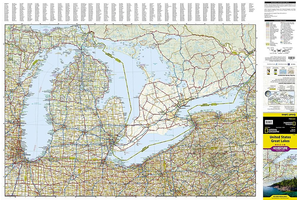
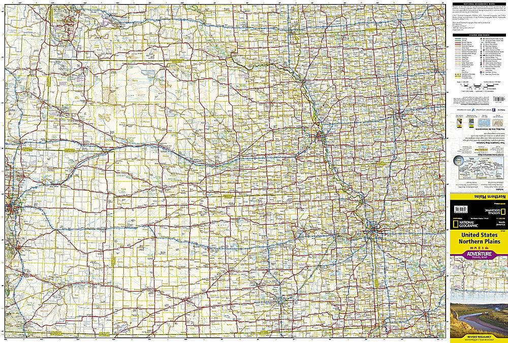
ISBN/EAN : 9781566957328
Publication date: 2017
Scale: 1 / 1,267,000 (1cm = 12.67km)
Printed sides: both sides
Folded dimensions: 22.2 x 10.8cm
Unfolded dimensions: 63 x 46cm
Language(s): English
Poids : 89 g

Customer Reviews

No reviews yet
0%
(0)
0%
(0)
0%
(0)
0%
(0)
0%
(0)