ISBN/EAN : 9786155010002
Publication date: 2018
Scale: 1/35,000 (1cm=350m)
Printed sides: front
Folded dimensions: 24 x 13 x 1cm
Unfolded dimensions: 70 x 69cm
Language(s): multilingual (including French)
Poids :
71 g
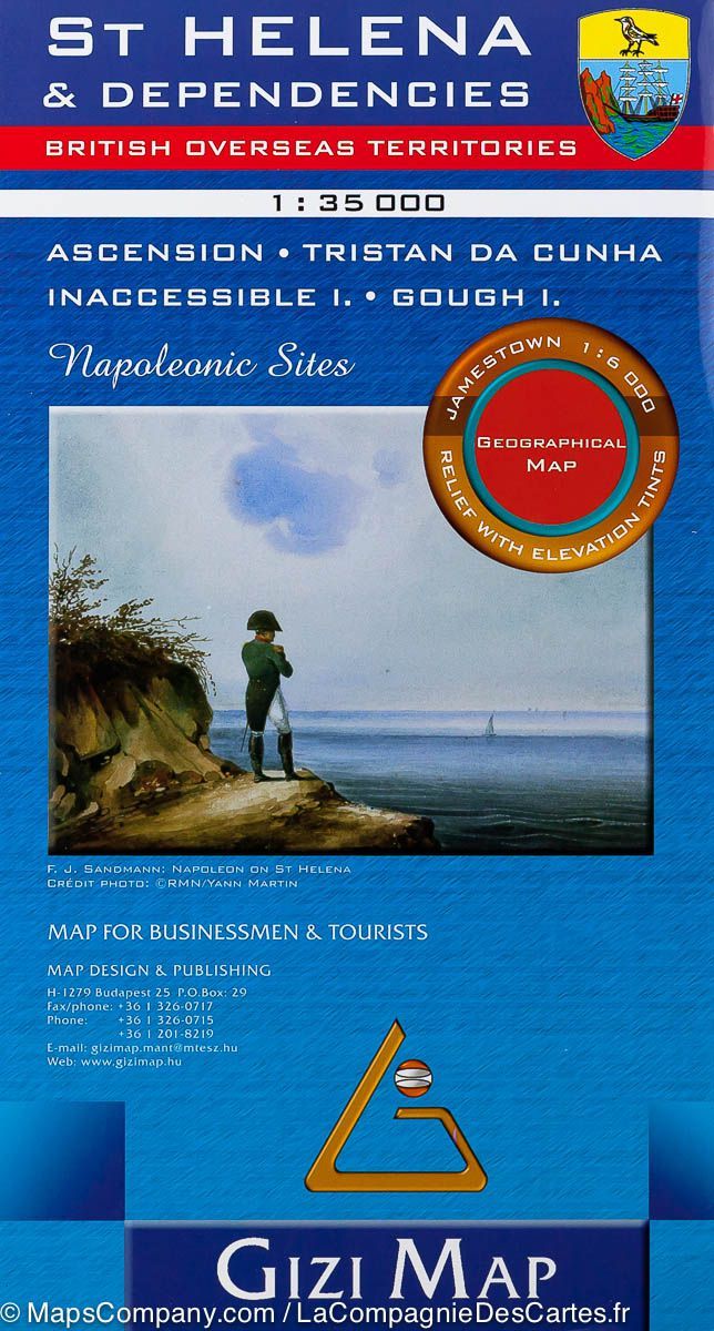
Detailed geographical map of the British Islands of St. Hélène, Ascension and Tristan da Cunha in the South Atlantic, published by Gizi Map. Road Map with detailed mapping of the relief, Map of the city of Jamestown (Saint Hélène) at 1/6000 scale and Napoleonic sites included.
More from England


