ISBN/EAN : 9789638746542
Publication date: 2017
Scale: 1/50,000 (1cm=500m)
Printed sides: front
Folded dimensions: 24 x 13 x 1cm
Unfolded dimensions: 93 x 69cm
Language(s): multilingual (including French)
Poids :
89 g
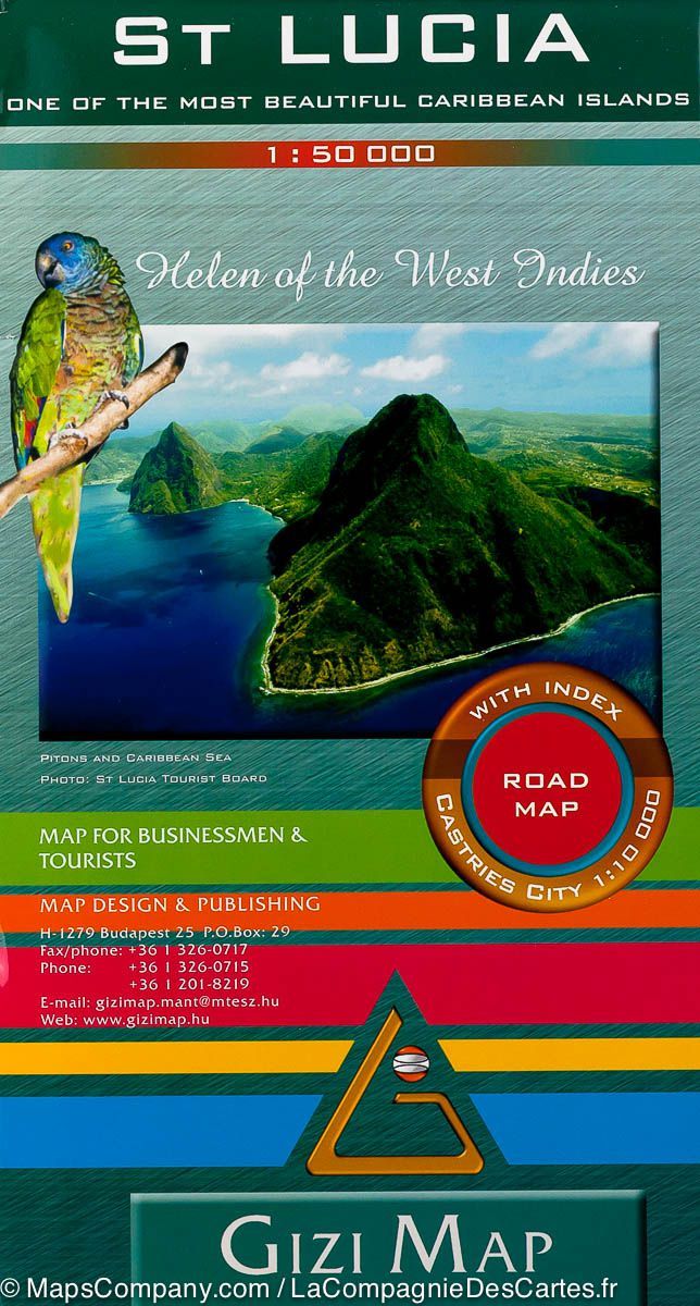
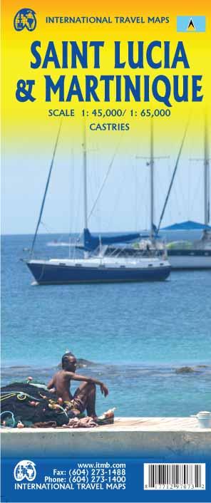
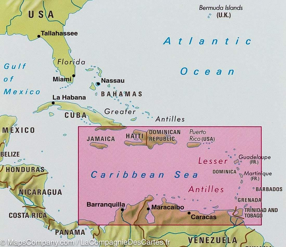
Detailed road map of the island of Saint Lucia (Antilles) edited by Gizi Map. Detailed map of the city of Castries, small detailed map of the West Indies. Road Map with relief mapping and an index of the cities of Saint Lucie included.
More from
West Indies


