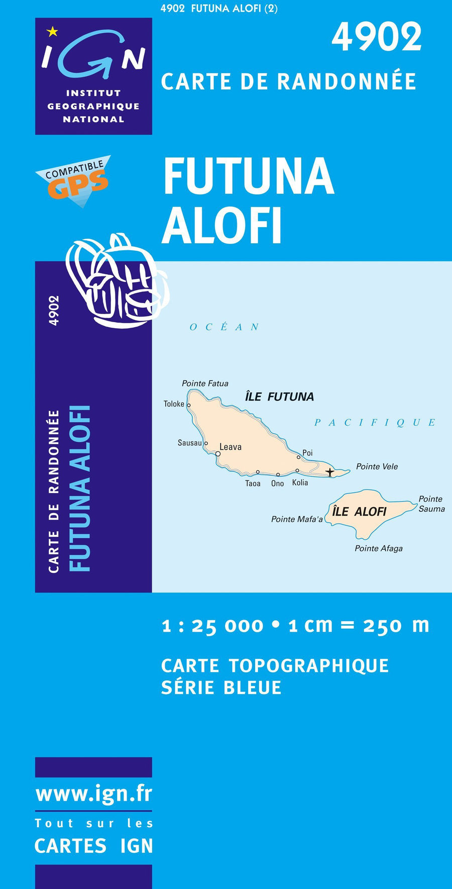
Top 25 # 4401 RT - St Paul, Port (Reunion Island, Northwest) | IGN
Top 25 # 4401 RT - St Paul, Port (Reunion Island, Northwest) | IGN
Regular price
$21.00
- Shipping within 24 working hours from our warehouse in France
- Delivery costs calculated instantly in the basket
- Free returns (*)
- Real-time inventory
- In stock, ready to ship
Related geographic locations and collections: France hiking maps - IGN TOP 25 & SÉRIE BLEUE, Indian Ocean, Reunion Island