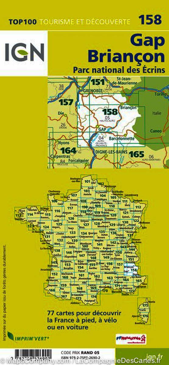
Map top 25 # 3437 ET - Orcières-Merlette (PN des Ecrins, Alps) | IGN
Map top 25 # 3437 ET - Orcières-Merlette (PN des Ecrins, Alps) | IGN
Regular price
$21.00
- Shipping within 24 working hours from our warehouse in France
- Delivery costs calculated instantly in the basket
- Free returns (*)
- Real-time inventory
- In stock, ready to ship
Related geographic locations and collections: Ecrins National Park, France hiking maps - IGN TOP 25 & SÉRIE BLEUE, French Alps (all hiking), French Alps hiking maps - IGN TOP 25 & SÉRIE BLEUE, GR54 - Tour of the Oisans & Écrins, Hautes-Alpes (department 05), Orcières-Merlette, Provence-Alpes-Côte d'Azur