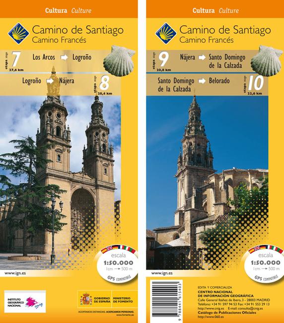
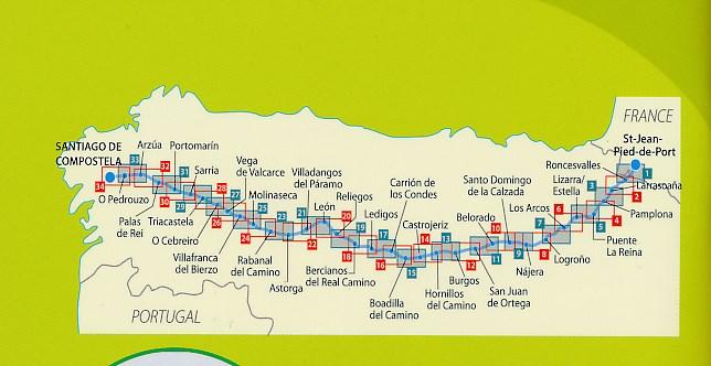
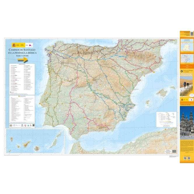
Topographic Map - Camino de Santiago (Camino Frances): Los Arcos-Belorado | CNIG
Topographic Map - Camino de Santiago (Camino Frances): Los Arcos-Belorado | CNIG
Regular price
$10.00
- Shipping within 24 working hours from our warehouse in France
- Delivery costs calculated instantly in the basket
- Free returns (*)
- Real-time inventory
- In stock, ready to ship
Related geographic locations and collections: Camino Francés, Way of Saint James (Camino de Santiago)