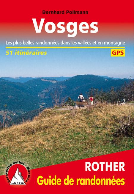
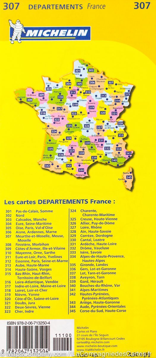
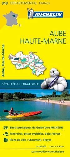
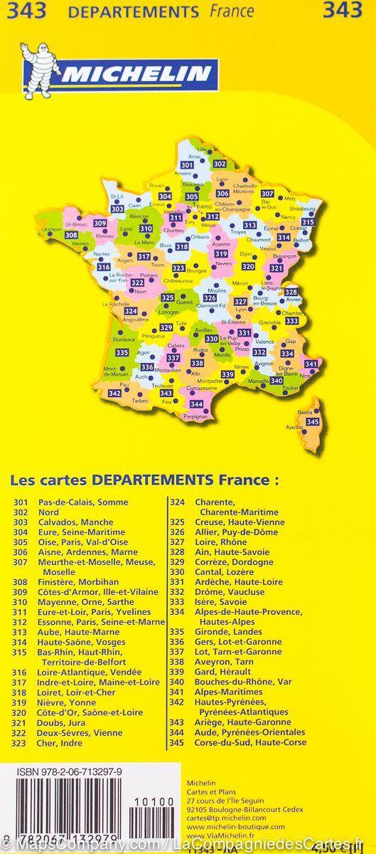
Hiking Guide - Vosges | Rother (French)
Hiking Guide - Vosges | Rother (French)
Regular price
$25.00
- Shipping within 24 working hours from our warehouse in France
- Delivery costs calculated instantly in the basket
- Free returns (*)
- Real-time inventory
Related geographic locations and collections: Great East, Travel guides & practical guides, Vosges (department 88)