Lorraine hiking guide edited by rother with the description of about fifty hikes chosen. A brief description of the hike with all important information, a color map and a precise description of the itinerary for each excursion facilitate the choice and orientation on site.
176 pages, 109 color photos, 50 altitude profiles, 50 maps at 1:50 000 and 1:75 000, two synoptic maps at 1: 1,000,000 and 1: 2 200 000.
Publisher's note: The art of living in France and near Germany! Lorraine is a region that brings together a superb nature, delicious cuisine and rich culture. This is also manifested in the hikes that are here a pleasure at all points of view! The Rother "Lorraine" hiking guide takes you to 50 hikes in this unknown and incredibly diversified region located between Alsace and Champagne.
Green forests, sweet hills covered with vineyards, small lakes and then the mountains. Vosges. The peaceful and romantic paths cross the picturesque landscape of Lorraine. The hikes are for the most part easily. Many are those that can be combined with the visit of museums, churches and castles. The author Thomas Retstatt who knows France also also has many addresses where to taste regional cuisine.
Each of the hikes presented in this hiking guide is preceded by a detailed description with information on accessibility by means of transport, restoration and hosting possibilities facilitating planisphere. Next to the detailed descriptions of the routes, small maps with the route of the course and informative altitude profiles help keep an overview along the way. GPS coordinates can be downloaded for all hikes. Many photos inaugurate the pleasure of hiking.
ISBN/EAN : 9783763349807
Publication date: 2023
Pagination: 176 pages
Folded dimensions: 12 x 17cm
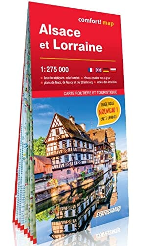
Language(s): French
Poids :
203 g