This complete road map comprising an index of the Saba streets (scale 1: 7,000) takes up all the known roads and streets of the island with their names and locates hiking trails and dive sites.
The map is sold folded, measuring 12.5 cm x 22.5 cm and is designed for easy opening and folding. Its complete format unfolded is 67 x 98 cm.
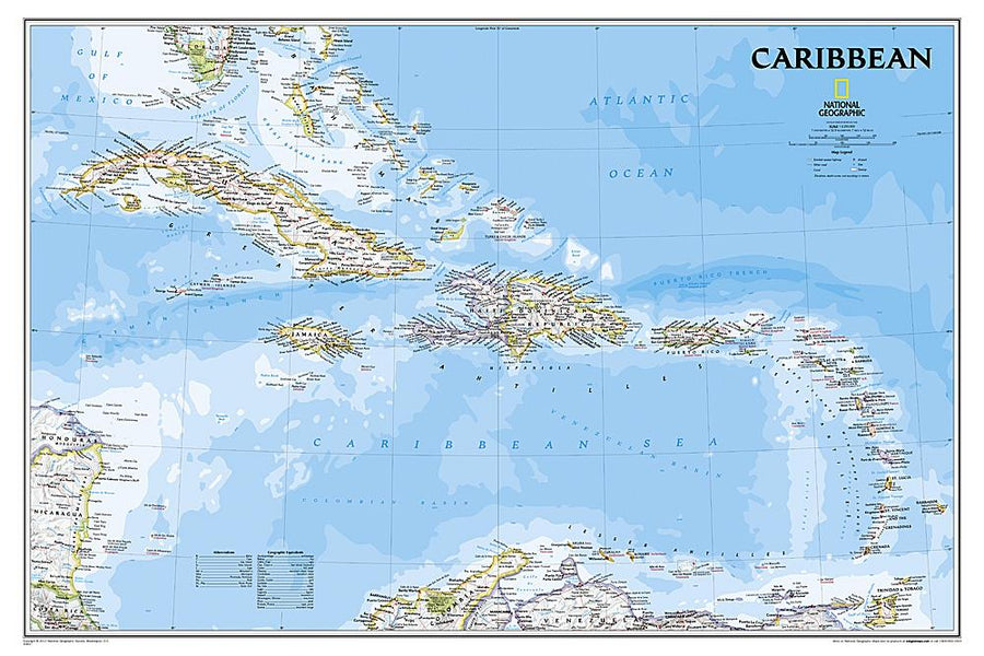
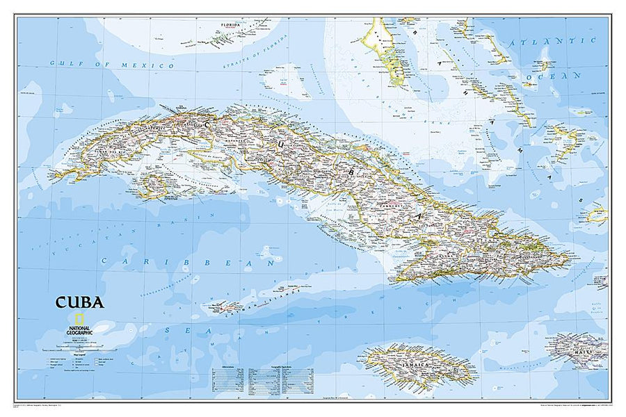
The map has the following features:
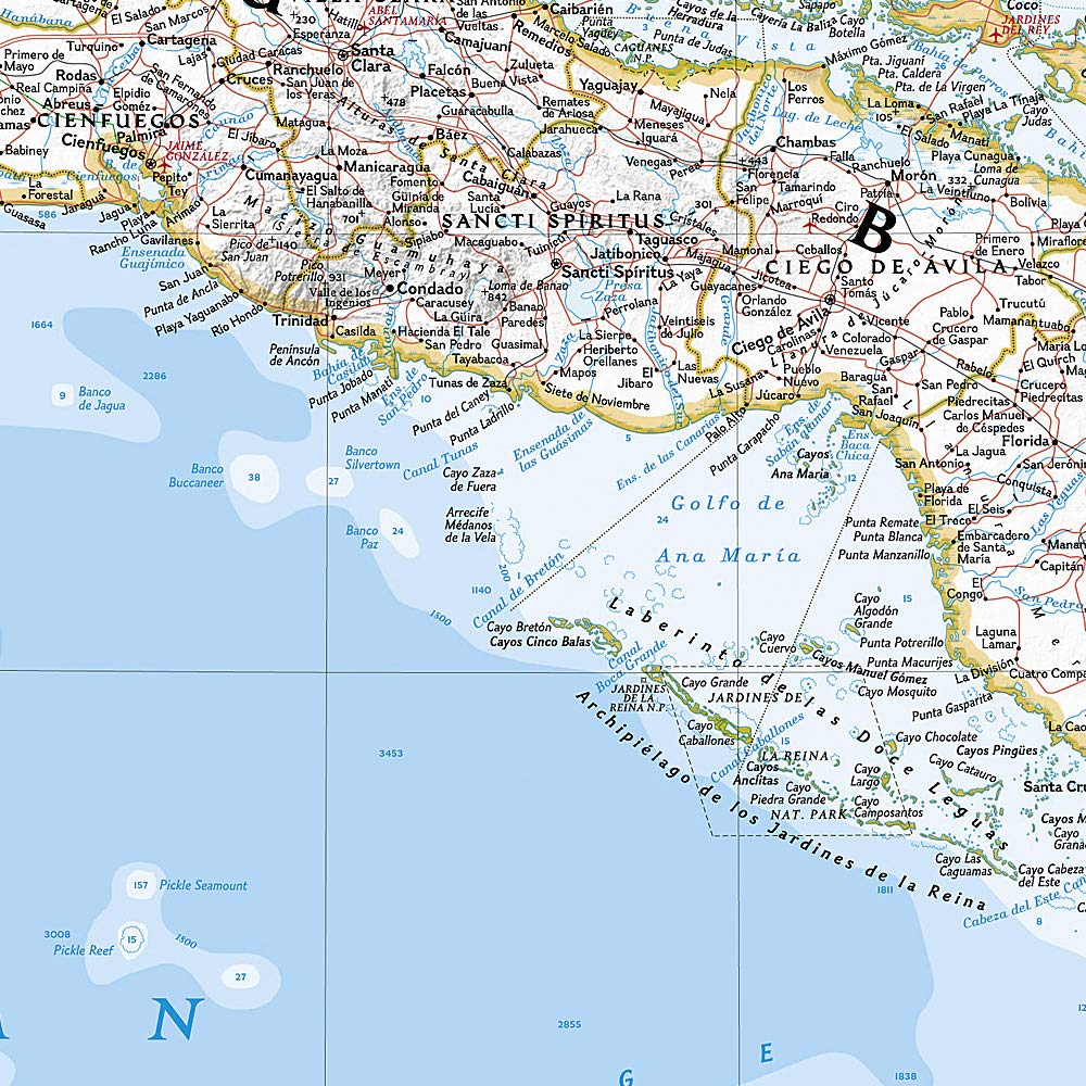
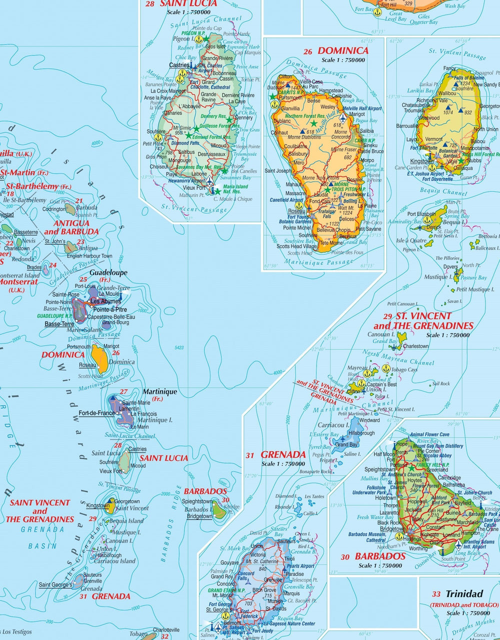
- the complete road network detailed on the street
- a complete index of streets and roads
- Additional maps of main cities
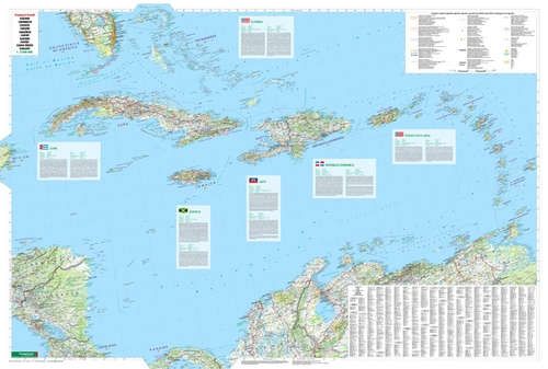
- an attractive presentation, all in color
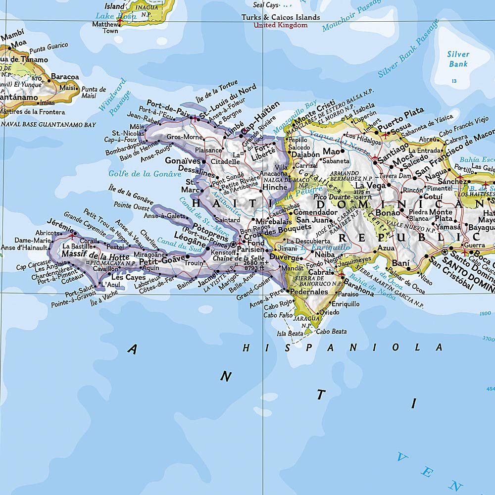
- very detailed topography
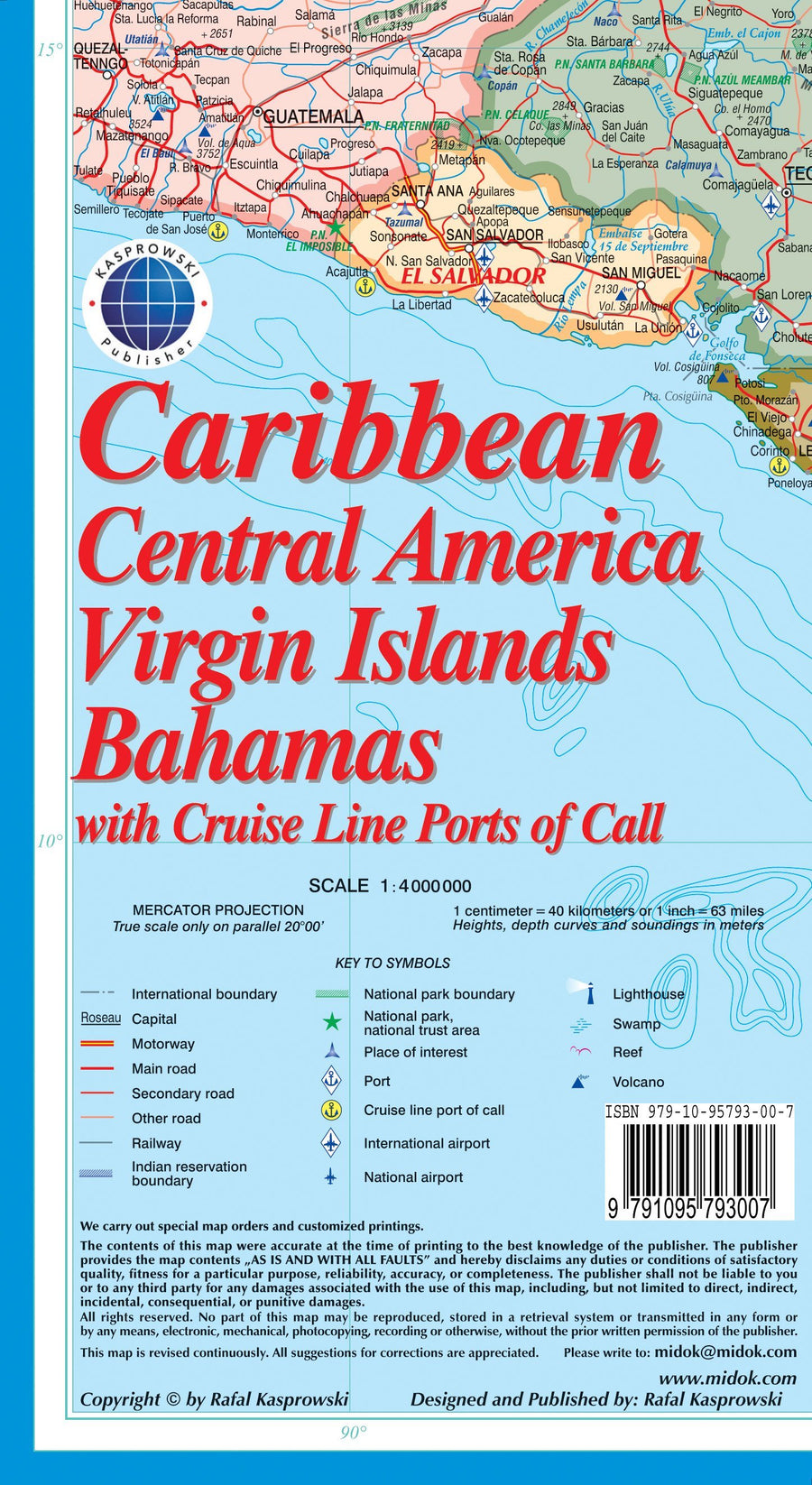
- Legend and ladder
- The depth lines, the probes in meters, the lines of longitude and latitude and other identifiers.
ISBN/EAN : 9791095793137
Publication date: 2015
Scale: 1/7000 (1cm=70m)
Folded dimensions: 22.5 x 12.5cm
Unfolded dimensions: 67 x 98cm
Language(s): English
Poids :
89 g