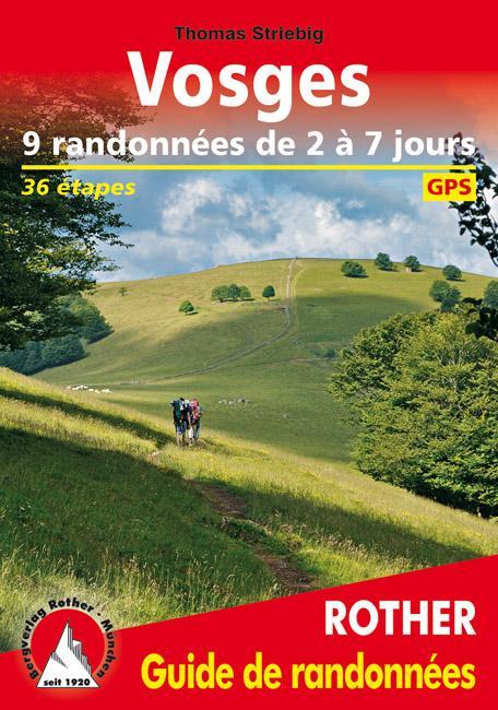
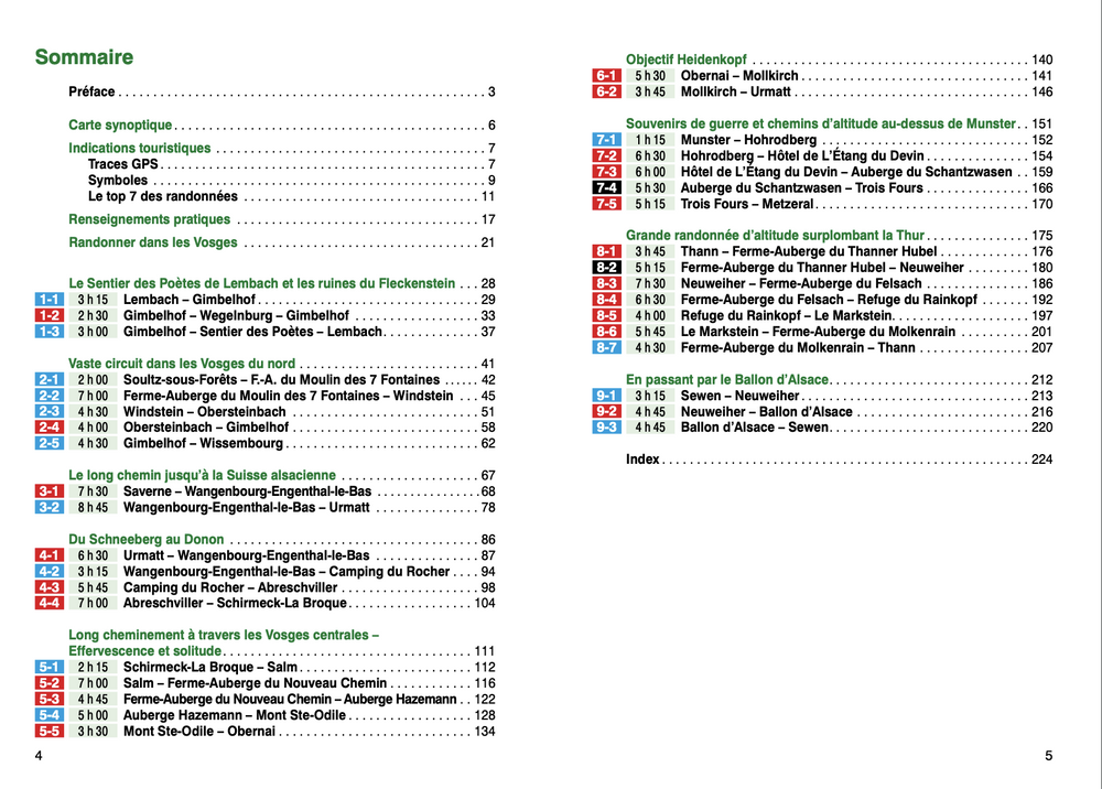
Topoguide from the "Great Hike" Collection with detailed factsheets to discover the Lorraine Vosges side.
In the majestic Vosges, 3 GR ® de Pays of 7 to 9 days each including loops of 2 to 5 days.
The Lorraine side of the Vosges offers you natural landscapes associating mountains and grandiose forests with innumerable rivers including the Vologne.
The blue line of the Vosges symbolically represents the natural border behind which lay Alsace and part of Lorraine after they were conquered by the Germans. The blue color often seen above the Vosges range is due to the emission of aerosols by the trees.
Further on, peaks emerge, including Le Hohneck dominating the line of ridges that separates Alsace from Lorraine.
ISBN/EAN : 9782751409820
Publication date: 2022
Pagination: 128 pages
Folded dimensions: 21x13cm
Language(s): French
Poids :
131 g


