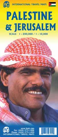
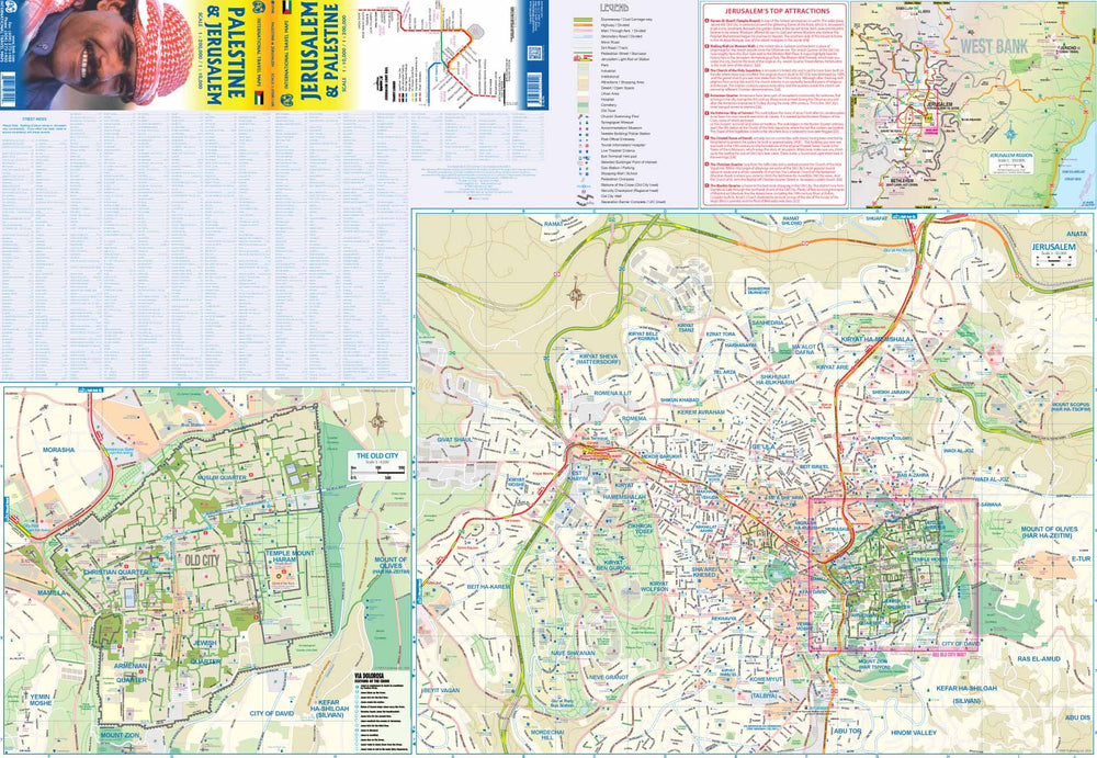
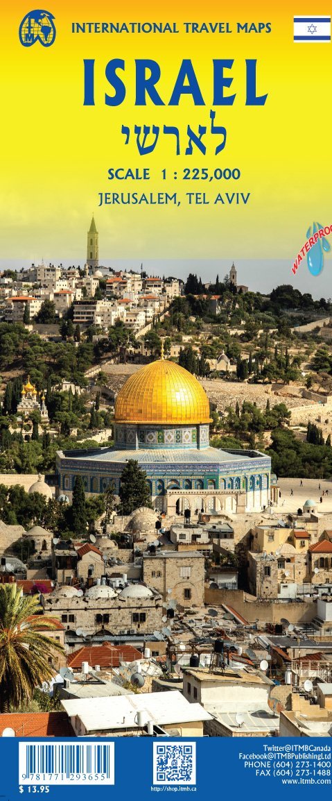
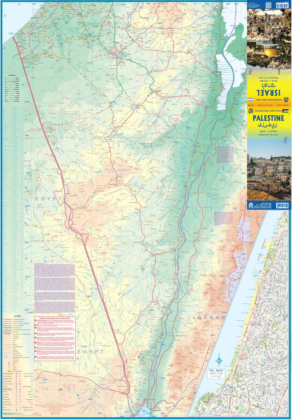
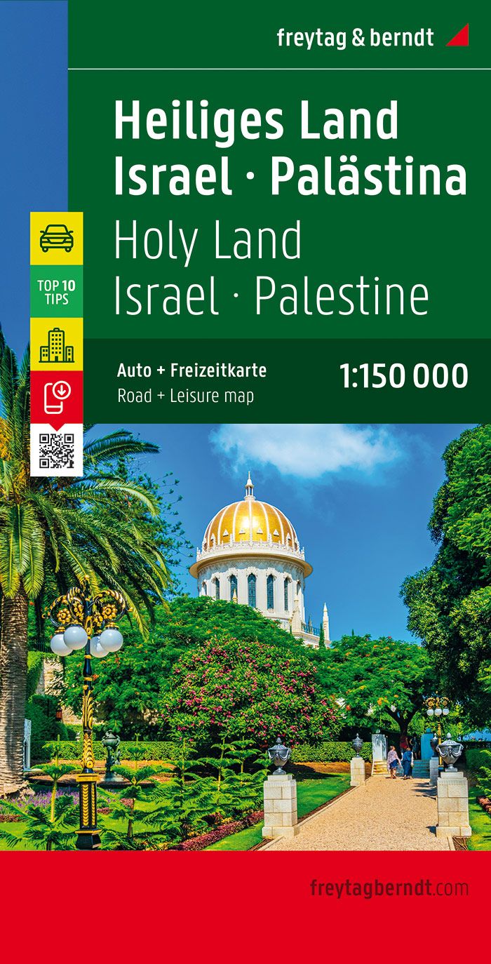
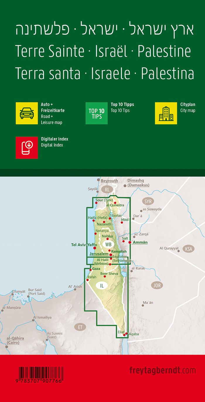
Palestine Road Map edited by ITM. Relief mapping, cities index and detailed legend included.
On the back, main plan of Jerusalem with a street index.
Legend indicates: highway, secondary road, dirt road, industrial, attractions, park, hospital, old town, post office, cinema, shopping center, school, gas stations, urban area, cemetery, Tourist information, bus terminal, desert, etc.
ISBN/EAN : 9781771296229
Publication date: 2019
Scale: 1/200,000 (1cm=2km) & 1/10,000 (1cm=100m)
Printed sides: both sides
Folded dimensions: 24.6 x 10.3 x 0.5cm
Unfolded dimensions: 100 x 66cm
Language(s): English
Poids :
60 g


